Imagine arriving at a beach to discover that the sea has gone out. Not a few metres out, leaving behind the usual assortment of seaweed and abandoned sandcastles, but kilometres into the distance. Boats rest on the seabed, enormous rock formations stand exposed and stretches of coastline that were underwater at breakfast are suddenly available for walking.
Give it a few hours and the water comes back, sometimes with extraordinary force.
Welcome to the world's greatest tidal landscapes, where the difference between high and low water can exceed the height of a four-storey building. From Canada's Bay of Fundy to the Australian Kimberley, these are places where the sea performs some rather astonishing geographical tricks.
Several are accessible on a cruise, although there's an important catch. Unlike a cathedral or a particularly dependable statue, the tide doesn't arrange itself around your sightseeing schedule. Visiting at the wrong time can mean missing the spectacle entirely.
Here's where to find the most remarkable tidal phenomena, how to reach them from cruise ports and what to check before booking.
Bay of Fundy, Canada: the world's highest tides

On Canada's Atlantic coast, between New Brunswick and Nova Scotia, the Bay of Fundy experiences some of the highest tides anywhere on Earth.
At the head of the bay, water levels can vary by approximately 16 metres between low and high tide. That's a remarkable amount of water to be moving twice a day, even by the Atlantic's fairly ambitious standards.
According to the US National Oceanic and Atmospheric Administration, the phenomenon results from the bay's funnel-shaped geography and a natural oscillation that amplifies the incoming tidal wave. In simple terms, the shape and rhythm of the bay make the water pile up far higher than it would along an ordinary coastline.
For cruise passengers calling at Saint John, New Brunswick, the obvious attraction is Hopewell Rocks, where enormous sandstone formations rise from the seabed like peculiar stone flowerpots.
At low tide, visitors can descend to the beach and wander among the rocks. At high tide, the same formations stand surrounded by deep water, with kayaking sometimes available around them.
The catch is distance. Hopewell Rocks lies on the opposite side of the bay, and Princess Cruises' published excursion information allows more than two hours for the journey each way. It also warns that the tidal stage during a visit can't be guaranteed.
You could spend four hours on a coach and discover the sea has had the temerity to return before you arrive.
If time is limited, Saint John offers a much closer alternative. The Reversing Falls Rapids occur where the Saint John River meets the Bay of Fundy. At lower tidal stages, the river flows towards the sea. As the incoming tide rises, it becomes powerful enough to reverse the river's flow, creating rapids and whirlpools.
The effect changes throughout the tidal cycle, so check the timing rather than expecting dramatic white water whenever you turn up. For a port day, I'd prioritise the Reversing Falls unless Hopewell Rocks is a particular ambition and the excursion timing genuinely works.
Burntcoat Head, Nova Scotia: walk where the ocean was

Across the Bay of Fundy in Nova Scotia, Burntcoat Head offers another extraordinary opportunity to explore the seabed on foot.
The park, situated on the shores of the Minas Basin, records an extreme tidal range of approximately 16.3 metres and identifies itself as the site of the world's highest recorded tides. When the water retreats, it reveals vast areas of reddish mud and rock beneath the surrounding cliffs.
Walking across the exposed ocean floor feels wonderfully improbable. You're standing in a place that will shortly belong to the fish again, surrounded by evidence of the sea's daily occupation.
Burntcoat Head is approximately an hour's drive from Halifax, making it a possible excursion for cruise passengers with a sufficiently long call and access to suitable transport. It's considerably easier to arrange as a pre- or post-cruise day trip if your sailing begins or ends in Halifax.
The park operates seasonally, generally from mid-May to mid-October, and offers guided ocean-floor walks on selected dates.
Timing is essential. Park guidance recommends visiting the exposed seabed within three hours either side of low tide, while warning that water can return quickly enough to cut off anyone who lingers too long.
If you want to experience both tidal extremes, you'll need to stay in the area for several hours. A brief shore excursion may deliver an unforgettable walk, but it's unlikely to reveal the full transformation.
And do wear sensible shoes. The seabed is muddy, slippery and utterly indifferent to whatever you've chosen for your holiday wardrobe.
Mont Saint-Michel, France: the island that appears and disappears

Few places demonstrate the power of the tides quite as theatrically as Mont Saint-Michel, the extraordinary medieval abbey rising above the coast of Normandy.
At low tide, the surrounding bay becomes an immense expanse of exposed sand and mud. During exceptional high tides, the sea returns to surround the rocky island, transforming the familiar postcard view.
According to the official Mont Saint-Michel tourism office, tidal ranges in the bay can reach approximately 15 metres. The sea can retreat as far as 15 kilometres from the coast, creating one of continental Europe's most dramatic tidal landscapes.
There's something gloriously excessive about it. Most medieval abbeys settle for a good hilltop location. Mont Saint-Michel has a surrounding sea that periodically vanishes.
For cruise passengers, Saint-Malo is a useful starting point. The Breton port receives cruise ships and has an impressive tidal spectacle of its own, with seawater rising and falling dramatically against the city's granite walls.
Mont Saint-Michel lies farther east along the coast and can be reached on an organised day trip. Direct public coaches also operate from Saint-Malo, although their timetables won't necessarily suit a cruise ship's arrival and departure.
The important thing is to distinguish visiting the abbey from witnessing an exceptional tide. You can enjoy Mont Saint-Michel at almost any tidal stage, but seeing the water surround it requires the right dates and hours.
The tourism office advises arriving around two hours before high tide to observe the rising water during particularly large tidal events. These generally occur around the full and new moons, with the most impressive variations often associated with the equinoxes.
If you're hoping to walk across the bay itself, go with an authorised guide. The exposed sands contain hazardous areas, and the returning tide can cut off walkers.
For a cruise call that doesn't align with an exceptional tide, I'd be inclined to enjoy Saint-Malo's waterfront rather than rush to Mont Saint-Michel expecting a spectacle that isn't scheduled to happen.
Kimberley, Australia: the ocean that flows sideways

In Australia's remote Kimberley region, the tides are so powerful that they've created something apparently designed to annoy anyone who thought they understood waterfalls.
At Garaan-ngaddim, better known internationally as the Horizontal Falls, enormous volumes of seawater are forced through two narrow gaps in the McLarty Range.
The difference in water levels produces powerful sideways currents, creating the appearance of waterfalls flowing horizontally between the cliffs. When the tide changes, the current reverses.
The Kimberley can experience tidal variations exceeding 10 metres, helping produce some of the world's most remarkable coastal water movements.
This is a very different prospect from an ordinary cruise-port excursion. The Horizontal Falls are in a remote part of Talbot Bay, accessible by boat or aircraft, and feature on selected Kimberley expedition itineraries sailing between Broome and Darwin.
Passengers typically experience the landscape in smaller expedition boats or on scenic flights, subject to local conditions and permissions.
The site is also deeply significant to its Traditional Owners, the Dambeemangaddee people, and is known by its Indigenous name, Garaan-ngaddim.
Tourism is changing here. The Dambimangari Aboriginal Corporation is working with authorities and operators to develop more culturally informed experiences, while high-speed boat passages through the narrow gaps are being phased out because of safety and cultural concerns. The precise permissions and transition arrangements depend on the operator and season.
That means prospective passengers should look carefully at what a particular cruise actually offers. Viewing the falls, approaching them by boat and travelling through the gaps are different experiences.
There's another remarkable phenomenon along the Kimberley coast worth seeking out, too.
At Montgomery Reef, an enormous reef system appears to rise from the Indian Ocean as the tide falls. Water pours from its exposed edges in countless cascades, revealing lagoons and rock pools before the sea eventually returns.
The Western Australian government describes the reef as an extraordinary tidal landscape that can seem almost invisible at high water. For anyone interested in the world's greatest tides, an expedition cruise exploring both locations would be difficult to surpass.
Turnagain Arm, Alaska: the wave that travels up an inlet

South of Anchorage, Alaska's Turnagain Arm has a rather unusual way of announcing the arrival of high tide.
Instead of the water rising almost imperceptibly, the incoming tide can create a travelling wave known as a tidal bore. It moves up the narrow inlet, sometimes reaching around two metres in height and travelling at impressive speeds.
The phenomenon occurs when a strong incoming tide is funnelled into shallow, narrowing waters, producing a wave that advances against the normal outflow.
Visit Anchorage reports that Turnagain Arm's bore can exceed 20mph, although the most spectacular waves require favourable tidal conditions and many are considerably smaller.
It's an extraordinary sight: a line of advancing water crossing the mudflats, with the Chugach Mountains rising behind it.
For cruise passengers travelling through Alaska, the most practical approach is to build a visit into the journey between Anchorage and the embarkation ports of Whittier or Seward.
The Seward Highway follows the shoreline of Turnagain Arm, passing viewing areas such as Beluga Point and Bird Point. Regular cruise transfers travel along this route, but they don't necessarily stop at the right time for the bore.
If witnessing the wave is a priority, spend an extra day around Anchorage and arrange transport specifically around the predicted tidal arrival.
The largest bores are more likely around the new and full moons, particularly when the difference between low and high water is substantial. Even then, a dramatic wave isn't guaranteed.
And whatever you do, stay off the exposed mudflats. The glacial silt can trap people, and the incoming water is dangerously fast. Observe from designated roadside viewpoints instead. This is one natural phenomenon best appreciated without becoming part of it.
Why are the world's biggest tides concentrated in certain places?
The gravitational pull of the Moon, assisted by the Sun, drives the tides experienced along coastlines worldwide. But the rise and fall of the sea isn't equally dramatic everywhere.
Coastal geography makes an enormous difference.
When tidal water enters a narrowing bay or estuary, it may be forced into an increasingly confined space, amplifying the change in water level. The depth and shape of the seabed also influence how the incoming tidal wave behaves.
In places such as the Bay of Fundy, the natural period of oscillation within the basin is close to the rhythm of the incoming ocean tide. This phenomenon, known as tidal resonance, helps explain why water levels rise so extraordinarily high.
The largest tidal ranges generally occur around the full and new moons, when the Sun, Moon and Earth are aligned in a way that reinforces their gravitational effects. These are called spring tides, although they occur throughout the year rather than exclusively in spring.
Between them come neap tides, when the difference between high and low water is smaller.
Britain has its own impressive example. The Severn Estuary and Bristol Channel experience some of the world's largest tidal ranges, with spring tides exceeding 12 metres at Avonmouth.
It's a reminder that you don't necessarily need to travel to the opposite side of the world to witness extraordinary coastal forces. Although, admittedly, the Australian Kimberley has made rather more of an effort with the scenery.
How to plan a cruise around the tides
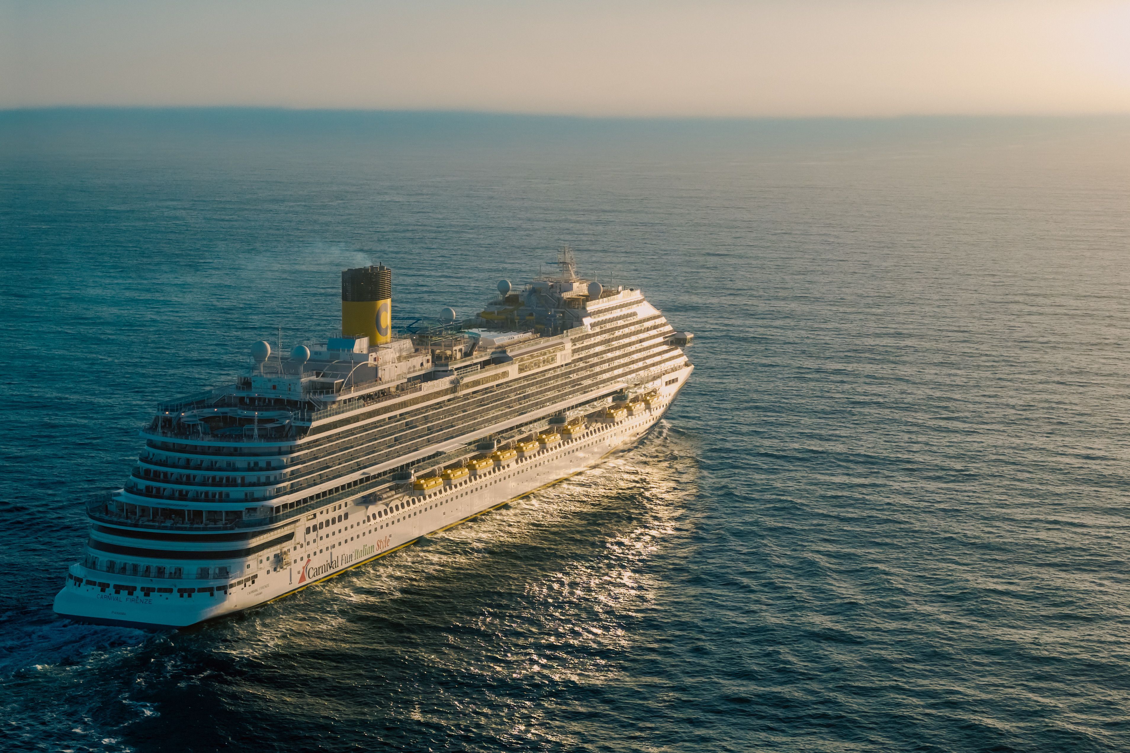
The most important piece of advice is also the simplest: check the tidal predictions before booking an excursion.
A cruise itinerary might promise an afternoon at a famous tidal destination, but that doesn't mean you'll arrive when the phenomenon is at its most dramatic.
For places such as Hopewell Rocks and Burntcoat Head, low tide is essential if you want to walk on the exposed seabed. To see the full transformation from dry land to deep water, you'll need several hours.
At Mont Saint-Michel, an unusually high tide can be spectacular, but only when the dates and arrival times align. For the Horizontal Falls, the strength of the currents depends on the tidal conditions, while Turnagain Arm's best bore waves require even more precise timing.
Use official local tidal predictions rather than relying on a general forecast for the nearest city. Tide times and heights can vary considerably even along different sections of the same bay.
In Canada, consult the Canadian Hydrographic Service. In France, the Mont Saint-Michel tourist office publishes information about exceptional tides. For Alaska, the US National Oceanic and Atmospheric Administration provides official tide predictions.
And remember that a tide table describes the expected water level, not necessarily the precise moment a tidal bore or current will be most impressive. Wind, atmospheric pressure and local conditions can change what you see.
If you're travelling independently during a cruise call, leave generous time to return to your ship and never venture onto exposed tidal flats without checking local safety guidance.